
Check Wellesley Neighbors Around a Parcel
Public sources reveal different aspects of the block around a Wellesley address. The GIS viewer shows parcel boundaries and address numbers. A property card can identify the owner and tax mailing fields for the selected parcel. Norfolk deeds and plans explain transfer history and shared subdivision language. The Town Clerk is the route for an appropriate local voter-file request, while the Blue Book and historical collections provide dated resident and civic context. None of these sources can promise every neighbor or every person in a household.
| Source | What it shows about a block | Access |
|---|---|---|
| GIS Assessor Parcels | Adjacent parcel outlines, address numbers, lot geometry, and map layers | Free viewer; click and zoom; no resident export |
| Property record cards | Owner, situs, mailing fields, and parcel characteristics | More Info from the GIS map; public fields vary |
| Norfolk deeds and plans | Transfers, ownership trail, plan references, and legal descriptions | Free index and viewer; clean images or copies may have stated charges |
| Wellesley voter file | Public local registration fields within protected-record rules | Request through the Town Clerk |
| Blue Book and List of Residents | Adult resident names and voter designation in a dated local series | Town Clerk and historical collection route; $15 current Blue Book |
| District and archive materials | Named streets, historic context, community records, and past events | Official town pages, Historical Society, library, and Townsman |
For Wellesley neighbors, a parcel owner may not be an occupant, and a dated resident-list entry may not be current. Preserve the source and date with each result.
Map Wellesley Neighbor Parcels
Use the Wellesley GIS Property Viewer to find the target address or parcel ID. Turn on Assessor Parcels and Address Numbers, then zoom until the outlines and labels are clear. Click the target parcel, leave it selected, and click each surrounding outline in turn. “More Info” leads to the parcel record card. This is an adjacent-parcel method, not a radius search and not a one-click neighbor export.
- Search the known address or parcel ID and select the target parcel from the map or results list.
- Keep adjacent parcels on screen. Use lot lines and address-number layers to identify the properties that actually touch or sit beside the target.
- Open each parcel card separately. Record the owner, owner 2 if present, mailing address, situs address, parcel ID, and lot size.
- Toggle Lot Dimensions, Buildings, Easements, public land, trails, zoning, and flood layers before treating a visible nearby lot as a direct neighbor.
- When parcel geometry is unclear, use the Measure tool for rough spacing and consult a plan or deed for the legal relationship.
A shared driveway, road, watercourse, easement, public parcel, or subdivision boundary can make a map relationship look simpler than the legal record. For a full named-street record chain rather than a block view, use the Wellesley street directory.
Use Wellesley Neighbor Map Layers
The current GIS guide documents more than parcel outlines. Its layers include voting precincts, school districts, zoning districts and overlays, trails, public land and open space, floodplains and wetlands, aerial photography, buildings, easements, vernal pools, lot dimensions, elevation, and address numbers. These layers explain the physical and civic setting around Wellesley neighbors. A precinct is not a resident list, and a school-district layer does not show enrollment.
Compare the map’s situs address with the parcel card’s mailing address and the deed’s legal description. The situs is the physical location. A mailing address is the tax-correspondence destination. A legal description is the deed or plan anchor. Keeping these fields separate prevents an out-of-town mailing address or institutional owner from being mistaken for an occupant next door.
- Adjacent parcel
- A parcel visible beside the target on the assessor map. It may share a boundary, a road edge, an easement, or only close visual proximity.
- Situs address
- The physical location of the parcel or building used as the GIS map key.
- Mailing address
- The tax correspondence address. It can differ from the situs and is not an occupancy finding.
- Legal description
- The deed or plan language that identifies land even when a street label, number, or parcel pattern changes.
Request Wellesley Neighbor Voter Records
Massachusetts treats municipal voter records differently from the statewide individual lookup. The state’s Voter Registration Search is an individual status tool. It requires first name, last name, date of birth, ZIP code, and an agreement checkbox. It is not a way to browse a Wellesley block. The state says municipal voter records can contain name, address, party, date of birth, active or inactive status, and voter ID, subject to protected-record rules.
A block-level request should go to the Wellesley Town Clerk and specify a street, precinct, address range, or requested public-record inspection. Ask the clerk for the current format, fee, and protected-voter exclusions. The research did not locate a separate Wellesley voter-file request form with a complete fee or field inventory. The Massachusetts Public Records Law provides the written-request fallback and requires a response or explanation within ten business days.
The Wellesley Voting and Elections page provides precinct, polling-place, local-election, and civic context.
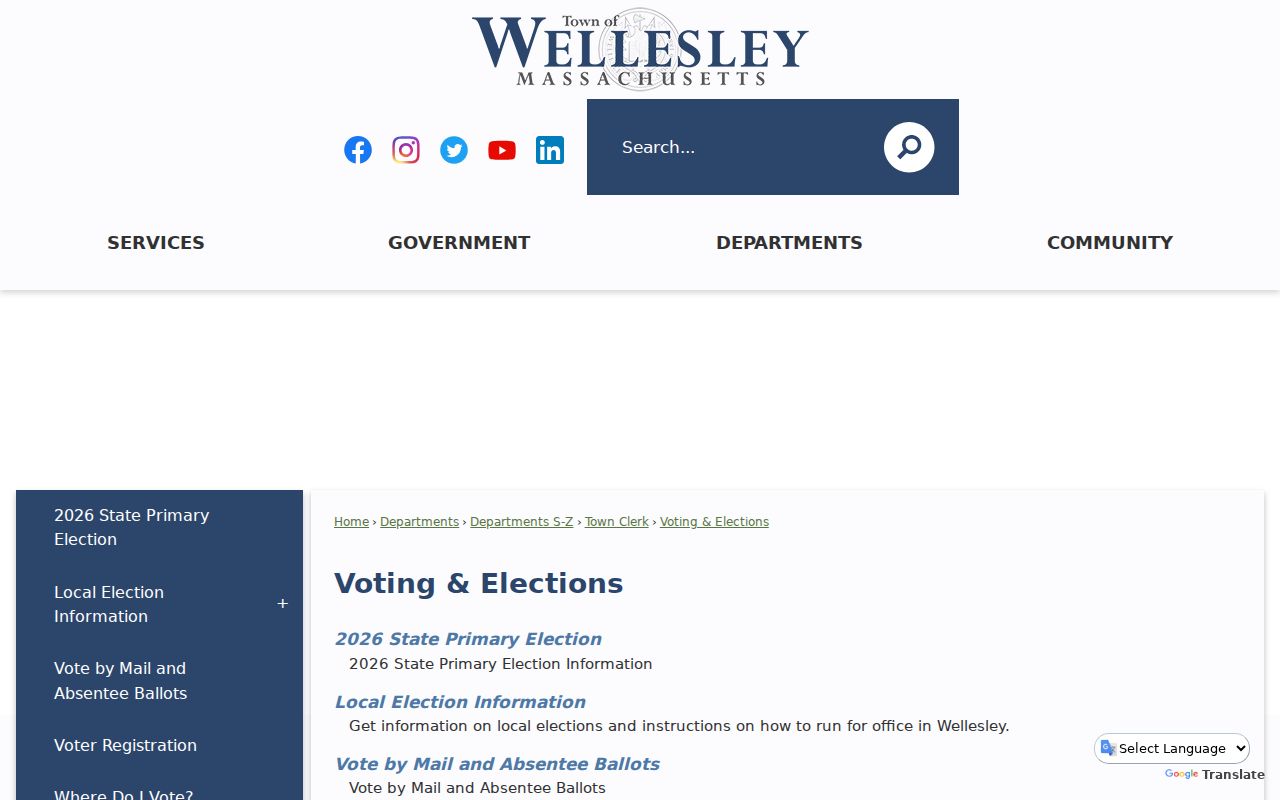
The precinct layer helps frame a local request, but it does not turn the individual state status form into a block directory.
Wellesley Neighbor District Context
Wellesley’s official neighborhood-scale material describes places and preservation processes, not a current membership directory. The Neighborhood Conservation District program was authorized in 2007 after more than 305 homes were demolished from 2000 to 2007. Denton Road is the current Neighborhood Conservation District, while Standish Road has been proposed. Formation requires an 80% property-owner petition, review, a public hearing, and Town Meeting action. These district details explain why a block may have plans, commission records, and map layers beyond the usual parcel card.
Denton Road NCD
Current Neighborhood Conservation District. The official route explains the district process and preservation setting; it does not publish a resident roster.
Standish Road proposal
Proposed Neighborhood Conservation District context. Review the official material for status rather than assuming a final district boundary.
Cottage Street Historic District
Created in 1980, with 65 properties along Cottage, Washington, Abbott, Waban, and Weston Roads. It is a historic-place layer, not a neighbor list.
The Wellesley Neighborhood Conservation Districts page is the official source for the neighborhood-scale program.
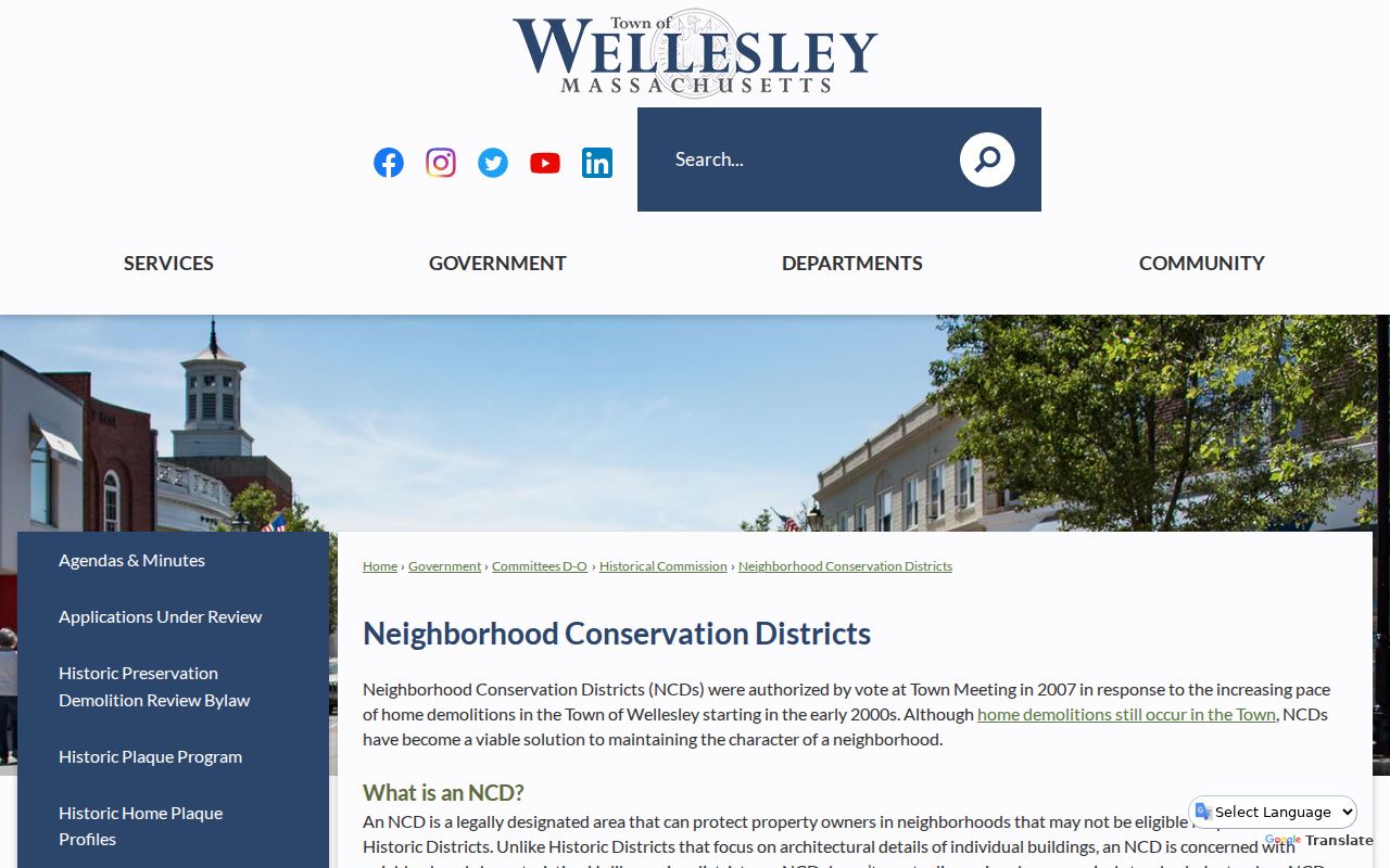
Use a conservation district as location context for maps, plans, and public review material, not as proof that a named person belongs to a neighborhood group.
Compare Wellesley Historic Districts
The Wellesley Historic Districts page provides a second kind of block context. Cottage Street is the listed district with 65 properties, and the town also identifies single-building districts for the Methodist Meeting House, Tufts, Sylvia Plath, Fiske, and Stanwood properties. A historic-district label can direct a searcher to public forms, maps, and architectural history. It does not identify current residents or tell who is connected to each property.
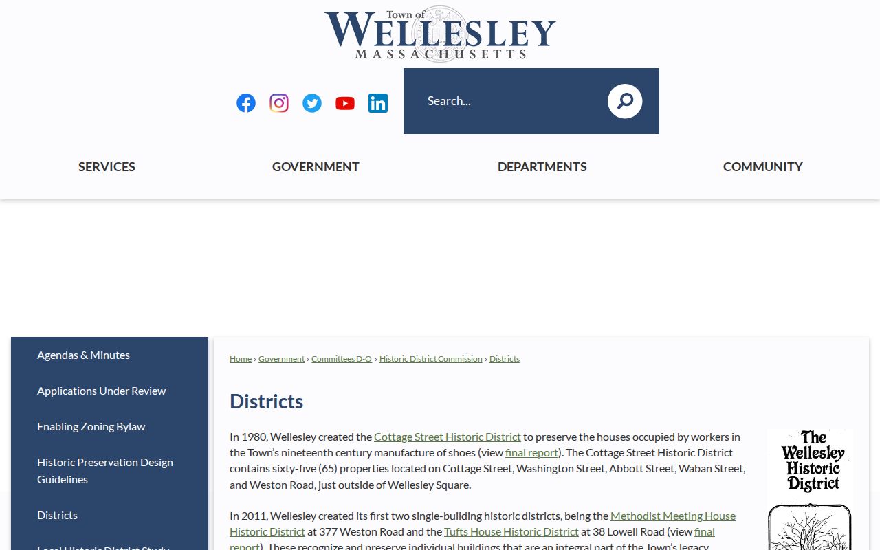
Historic district data is most helpful when it is compared with parcel lines and dated archival material instead of being treated as a modern household list.
Find Wellesley Neighbors in the Blue Book
The annual Wellesley census produces the List of Residents, also called the Blue Book. It contains names and addresses of residents over 17 and identifies registered voters. The Town Clerk sells the book for $15. That makes it a useful local snapshot, but it excludes children under 17 and cannot be treated as a complete modern household count. The historical arrangement is also important: 1902-1920 volumes are male alphabetical, and 1921-present volumes are arranged by street and precinct.
The Wellesley Census and List of Residents page explains the annual census and Blue Book route.
For older blocks, pair the List of Residents with Historical Society directories, Townsman notices, maps, and photos, each labeled by its date and source.
Compare Wellesley Neighbor Sources
Official records show where a field came from and what it means. A parcel card identifies assessed property information. A municipal voter file is governed by public-record and protection rules. A Blue Book is a dated adult-resident list. Commercial neighbor-search categories may combine fragments from many sources, but a reader may not be able to see the original record, collection date, exclusion rule, or correction path. Use an official record when the question depends on a parcel, legal transfer, voter-file procedure, or local collection date.
| Source type | Strength | Limit to keep in mind |
|---|---|---|
| Official parcel and deed records | Named custodian, documented fields, and property-specific source trail | Owner evidence is not a household list |
| Municipal voter-file route | Public-record procedure with protected-record exclusions | Requires a local request; the statewide form is individual only |
| Blue Book and archival collections | Dated local context and street or precinct arrangement | Coverage, inclusion, and arrangement vary by volume and era |
| Commercial neighbor-search categories | May offer a broad starting lead | Original source, date, and completeness may be unclear |
Respect Wellesley Neighbor Privacy
Property adjacency is public map information, but occupancy and household membership often are not. A parcel can belong to a trust, estate, business, town entity, or condominium association. Utility customer lists, mail-delivery information, and DMV personal information are not public local layers. Protected voters, Address Confidentiality Program participants, public-safety and judicial personnel, crime victims, and other people covered by Massachusetts rules may have withheld or substituted address fields.
The Massachusetts Address Confidentiality Program is established under M.G.L. c.9A and 950 CMR 130.00. M.G.L. c.66 §10B protects specified home-address and contact information. A no-match can reflect a protected record, different source date, surname variant, or a record that never captured the person. Respect those limits instead of trying to reconstruct a private household from scattered entries.
Lawful use. Use Wellesley block records for personal, lawful property and community research. Do not use public information to watch, threaten, intimidate, or harass another person.