
Search Wellesley Streets by Parcel
A street-by-street search in Wellesley starts with the current parcel, not with an assumption about occupants. The Wellesley GIS Property Viewer accepts an address or parcel ID, lets the user select a map location, and opens a Property Record Card through “More Info.” That card can show the situs address, parcel ID, owner, second owner, tax mailing address, lot size, and land use. The owner field is useful for a title trail, but it is not a household roll. A mailing address may differ from the parcel location, and an owner may be a trust, an estate, or an institution.
Keep the exact street spelling, house number, and parcel ID together as the search moves between sources. That makes a Wellesley street directory search more reliable when a name is common or a property has changed hands.
- Search the address or parcel ID in the GIS viewer. Select the map result and save the situs address, parcel ID, owner, and mailing fields from the record card.
- Zoom to the street segment and use Assessor Parcels and Address Numbers to distinguish the target lot from nearby lots with similar numbers.
- Search the owner as a grantee in Norfolk Research, limited to Wellesley. Record the deed book/page or registered-land certificate, recording date, seller, and legal description.
- For a historical resident layer, consult the Wellesley List of Residents or Town Directories through the Historical Society or library, using the correct year and arrangement.
- Use permits, planning cases, maps, and newspaper notices as address-dated context. They can date work or an event, but they do not prove everyone who lived there.
Note: A parcel is stable property evidence, while a resident list is a dated municipal or directory snapshot with its own inclusion rules.
Wellesley Street Directory Map Tools
The GIS viewer is the practical street directory map for current address work. Its guide documents parcel, address-number, building, lot-dimension, voting-precinct, school-district, zoning, floodplain, wetland, public-land, trail, easement, and aerial layers. Leave nearby parcels visible when studying a block. The Measure tool is useful for rough distance or area checks, and Print can preserve a labeled map view. Neither tool turns the viewer into a resident roster.
| GIS field or control | Type | Use on a Wellesley street |
|---|---|---|
| Address | Search field | Locates a situs parcel; multiple matches may appear. |
| Parcel ID | Search field | Provides the exact current parcel route when an address is uncertain. |
| Map parcel | Click target | Shows adjacent parcel outlines and opens the selected parcel context. |
| More Info | Record-card control | Opens owner, mailing, situs, lot-size, and land-use fields. |
| Address Numbers and Lot Dimensions | Layer toggles | Help match a street number to the visible parcel geometry. |
| Voting Precincts and Zoning | Layer toggles | Provide civic or regulatory context, not proof of residency. |
Wellesley Assessors maintains CAMA characteristics for more than 8,300 properties. Changes in the property record can follow building-permit activity, so the card is valuable for property context without serving as a current list of household members.
Wellesley Street Records at One Address
Several custodians hold address-keyed records for Wellesley, and their reach is not interchangeable. The parcel card supplies present property information. The Norfolk Registry supplies recorded land, registered land, plans, and the transfer chain. The Town Clerk and Historical Society supply local resident-list and directory material. Engineering and OpenGov add work and plan context. Pair the source to the question rather than treating a street name as a universal key.
| Record set | Keeper | What it can show | Access route |
|---|---|---|---|
| GIS property card | Wellesley Assessors | Owner, mailing address, situs, parcel ID, lot size, land use | Free online viewer and record card |
| Recorded and registered land | Norfolk Registry of Deeds | Parties, deed placement, plans, legal description, transfer chain | Norfolk Research index and viewer; copies available through Registry routes |
| List of Residents | Town Clerk and Historical Society | Adult names and addresses, plus registered-voter designation | Local series; Blue Book is sold by the Town Clerk |
| Town directories and street index | Historical Society and library | Historical name/address associations and street-name clues | Appointment, local-history shelves, or research assistance |
| Permits and case material | Engineering, OpenGov, planning records | Address, applicant or contractor, work, status, and dated decisions | Portal, published case log, or a records request where applicable |
For a current owner-to-deed chain, the address and parcel connect the first two rows. For a past resident question, add a dated List of Residents or directory. The historical collection itself is described in more depth in the Wellesley city directories.
Trace Wellesley Streets in Norfolk Research
Norfolk Research reaches land-record indexes and images back to 1793. Recorded Land is organized through deeds and book/page references, while Registered Land uses certificates of title and encumbrances. Search the current owner as grantee, restrict the town to Wellesley when useful, then read the deed or plan for the seller, recording date, legal description, and prior instrument reference. Search that seller as a grantee to continue backward.
Address search has a major local limit. Applicable documents generally have indexed address fields from 2003 forward, so older records may exist online but not be retrievable by a modern street-number query. The legal description, plan reference, and party names bridge that gap. Free on-screen images and public prints are available, but a public print carries a non-official-copy overlay. The Registry guide states that clean images require an annual subscription plus a per-page charge, and mailed copies add a per-document charge.
The Norfolk Registry research introduction shows the official land-research routes used for a Wellesley street directory trail.
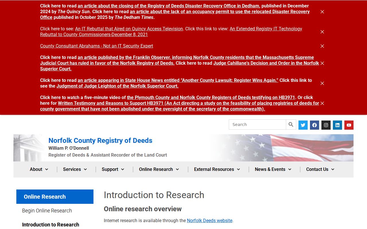
Use the Registry result as an ownership and document trail, then return to a dated Wellesley source before drawing a conclusion about who was associated with the address.
Wellesley Street Permits and Cases
Wellesley Permits routes street-occupancy, right-of-way, sidewalk, curb, driveway, drainage, sewer, water, and trench work through OpenGov and Engineering. A released permit can provide an address, applicant or contractor, work description, date, and status. It is useful when a street directory search needs to date an addition, driveway change, drainage work, or other physical change. It should not be read as proof that the applicant lived at the parcel.
The town’s documented 2025 planning and zoning case log is a second address-based source, with petition, petitioner, address, status, and decision details. Complete searchable OpenGov field labels and historical coverage were not verified in the research, so use the visible record and the agency route rather than assuming a full online archive.
The Wellesley permits and Engineering page provides the official starting point for this address-dated evidence.
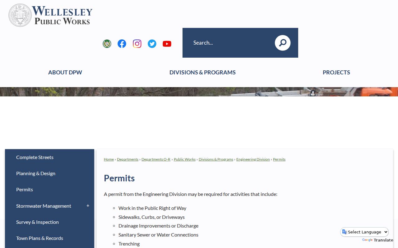
Permit history can explain a parcel change that appears on the assessor card or map, while the deed and local lists remain separate evidence streams.
Wellesley Street Names Across Map Eras
Garden Road is a useful Wellesley street-directory quirk. Historical Society material reports that it is absent from the 1897 map but appears on the 1919 map. A modern address on that road cannot simply be searched backward under the same label. Wellesley was also West Needham or part of Needham before its April 6, 1881 incorporation, so earlier records can be filed under Needham or West Needham.
Use the Historical Society Street Name Index, the 1856 Needham map, the 1897 Atlas, and 1919 or 1927 Sanborn maps alongside the deed’s legal description. The Society’s index covers more than 500 street names. This comparison of present address, map era, and legal parcel is safer than treating a missing modern street name as a missing household.
Note: No official townwide street-renumbering year was verified, so do not assign an unconfirmed date to a number change.
Read Wellesley Lists by Street
The annual Wellesley census produces the List of Residents, also called the Blue Book. It lists names and addresses of residents over 17 and marks registered voters. It does not include children under 17 except through the school system, and it is not a complete household census. The Town Clerk sells the Blue Book for $15. Historical arrangement matters: the 1902 to 1920 series is male alphabetical, while 1921-present volumes are arranged by street and precinct.
Town Directories run from 1883 to the present in the Historical Society’s documented holdings. The Society also has a street index and historical house-research material. An exact Wellesley reverse or criss-cross directory run was not verified, so treat that format as a collection lead to inspect locally, not as a promised online search.
- Parcel
- A mapped unit of property used by the assessor and GIS, often the cleanest current key for a street search.
- Situs address
- The physical property location. It can differ from the owner’s tax mailing address.
- Legal description
- The lot, plan, or other deed language that anchors a property when an address changes or is not indexed.
- Criss-cross directory
- An address-first directory format that can connect a street number to a listed name when a specific volume contains it.
Get Wellesley Street Records From Custodians
Online searching is only one access channel for a Wellesley street directory question. The Norfolk Registry of Deeds provides the public land viewer and a Customer Service Center at 649 High Street in Dedham for copies and research help. Its public-record request route accepts an online submission or a printed and mailed request, with requester contact details and a summary of the requested record. The Registry’s public viewer is useful for an index and image trail, while a formal copy or a question about a restricted record belongs with the custodian.
For a local municipal record, contact the relevant Wellesley office. The Town Clerk keeps local census, election, vital, and town-record series. Engineering handles deed information, GIS implementation, surveys, plans, and street-occupancy permits. Historical resident material is also available through the Historical Society and Free Library, where a shelf, appointment, or written research inquiry can be the necessary fallback when no full online scan exists. Under the Massachusetts Public Records Law, a written request must receive a response, delay explanation, or denial explanation within ten business days.
When requesting an address record, name the street, number, date range, record type, and any parcel or book/page reference already found. That gives the office enough detail to distinguish a property card, permit, plan, historical list, or copy request.
Wellesley Street Directory Boundaries
A Wellesley street directory cannot show every person at an address. Parcel cards identify assessed owners, not all occupants. The state voter-status form is for an individual voter and requires first name, last name, date of birth, ZIP code, and an agreement, so it is not a street-browsing tool. A municipal voter-file request goes to the Town Clerk and remains subject to protected-record rules. Utility customer lists, mail-delivery data, and DMV personal information are not public street rolls.
Massachusetts protects some addresses through the Address Confidentiality Program, M.G.L. c.66 §10B, election rules, and related protections. A missing name may reflect a protected address, a renter or temporary resident not captured by the source, an indexing difference, or a date mismatch. For a public record held by Wellesley, the Massachusetts Public Records Law, M.G.L. c.66 §10 and c.4 §7 cl.26, provides the written-request framework.
Lawful use. Use Wellesley address records for personal, lawful research and property history. Repeatedly using records to watch, threaten, intimidate, or harass another person can violate Massachusetts law.